AREAS AND SIGHTS

Koubo-ike Pond
Koubou Ike
![]()
![]()
![]()
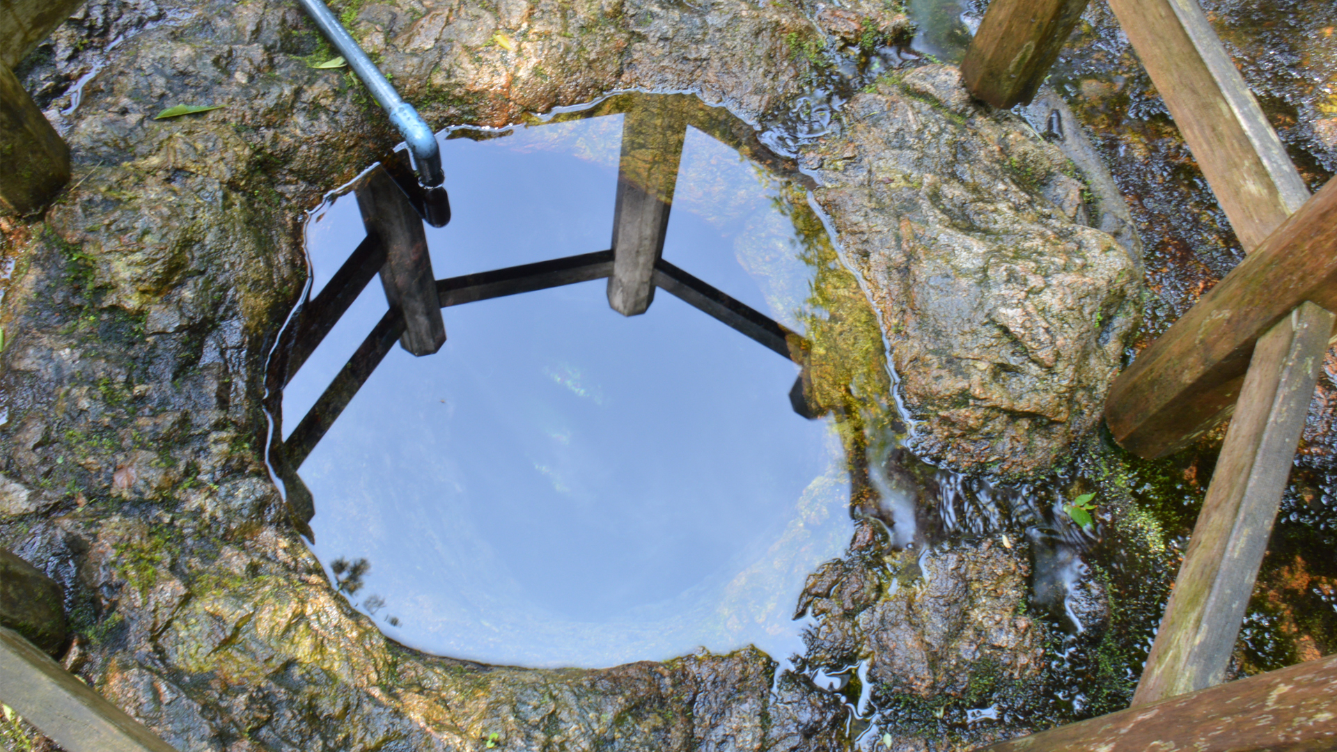
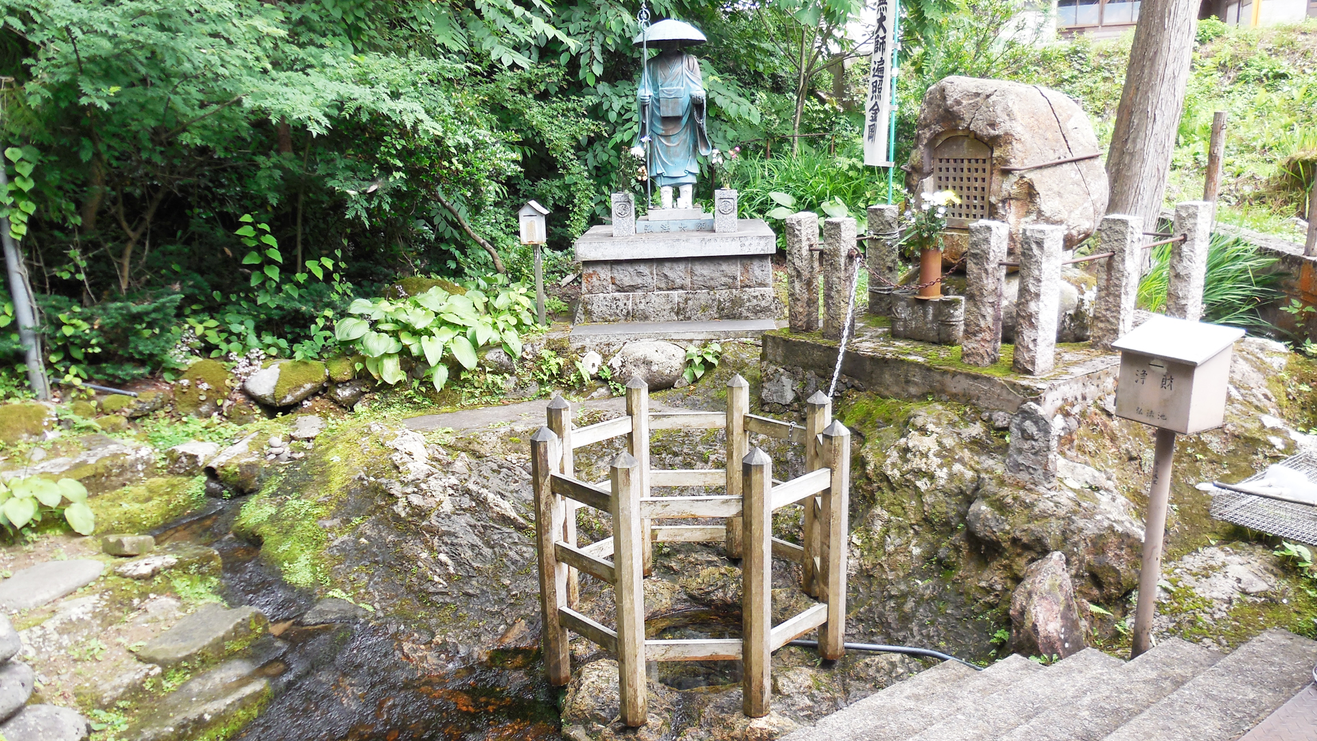
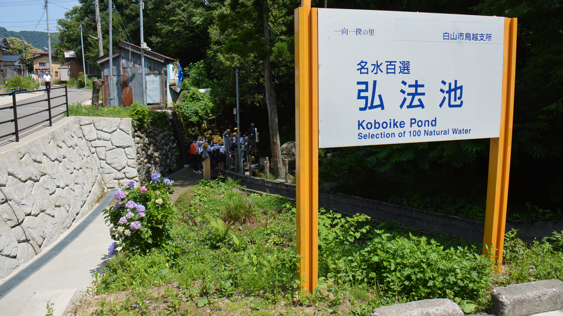
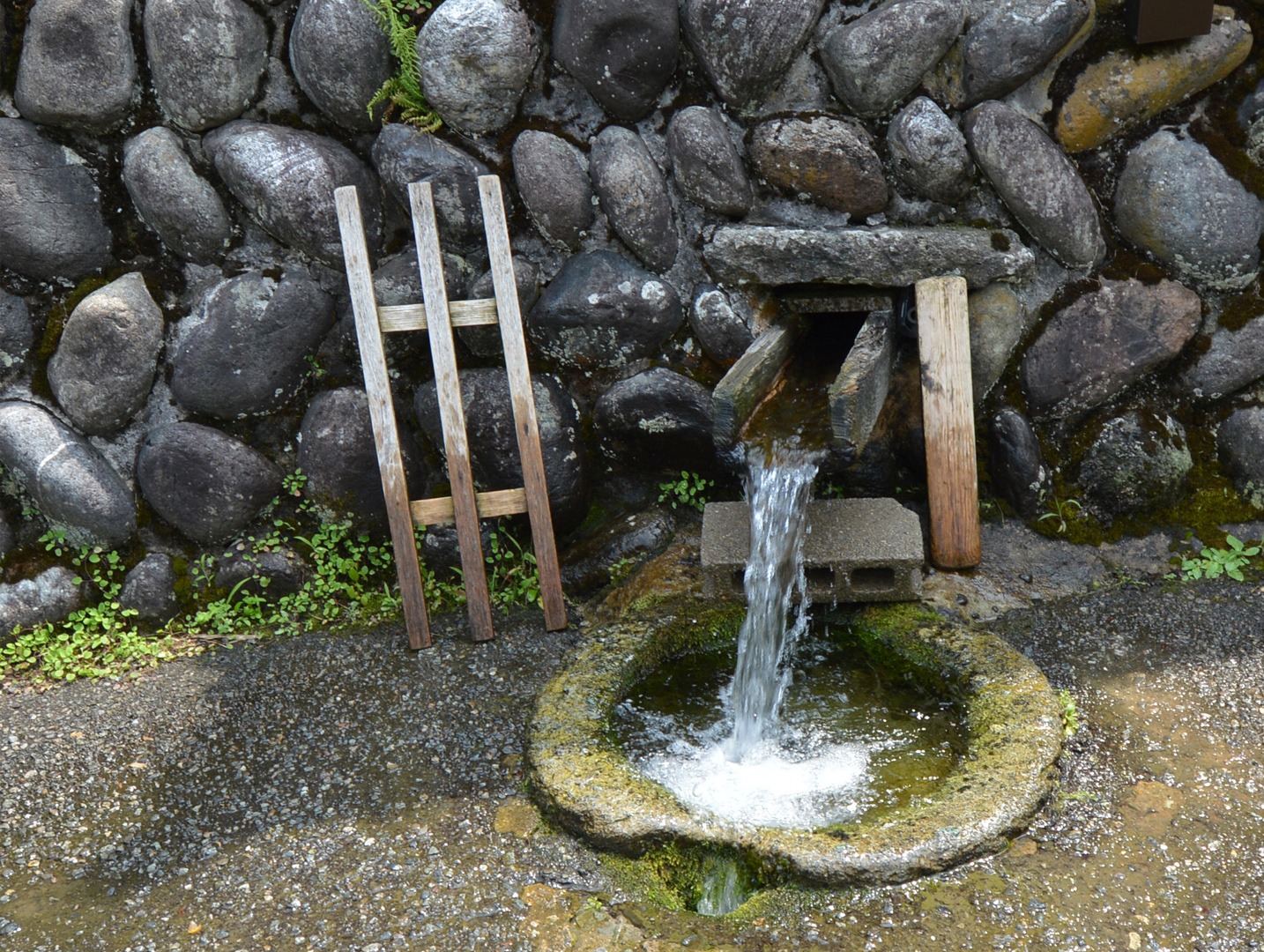
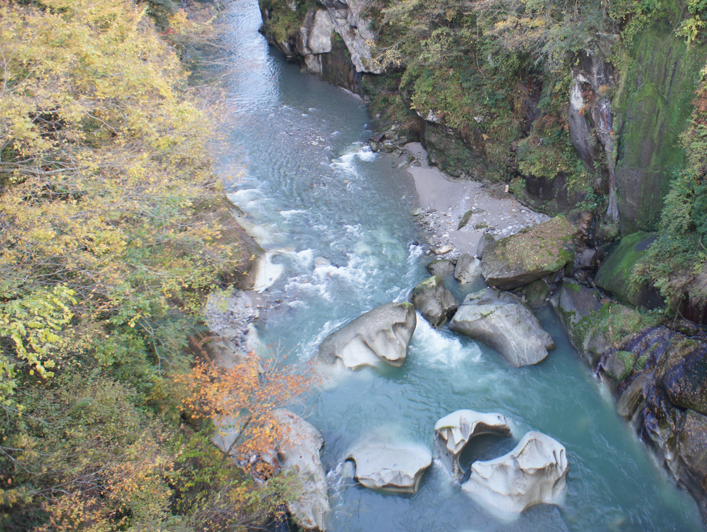
The area of the Koubo-ike Pond was once a riverbed. During its time as a river, a big hole (pothole) was formed. After the river eroded deeper into the gorge, groundwater began to spring from the hole, and now the spring water is considered one of the 100 best waters in Japan. This kind of pothole, where groundwater springs in this manner, is rare in Japan.
Traditionally the hole was named after the famous Buddhist monk Koubou Daishi, who in return for the kindness of an elderly woman, is said to have struck a rock with his rod, causing water to gush out from the hole. A statue of the monk has been erected beside the hole. It is also called the Kama-ike Pond due to its resemblance to a 'kama' rice kettle.
Traditionally the hole was named after the famous Buddhist monk Koubou Daishi, who in return for the kindness of an elderly woman, is said to have struck a rock with his rod, causing water to gush out from the hole. A statue of the monk has been erected beside the hole. It is also called the Kama-ike Pond due to its resemblance to a 'kama' rice kettle.
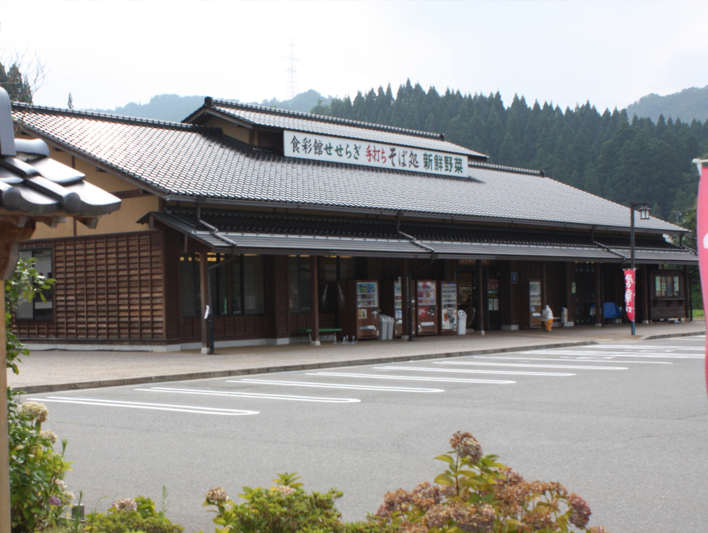
INFORMATION
Access• Car:
A small car park is available for visitors
Address
Ishikawa, Hakusan, Kamashimizumachi<MAP>
Free Map for Travelling Around Geoparks
Pocket Geo is a free map service that can be accessed online. It includes information about nearby sites and tourist destinations in the geopark. If you click on the sites, you can see pictures and information about them.
Click here to visit Pocket Geo