AREAS AND SIGHTS

Tedorigawa Dam
Tedorigawa Damu
![]()
![]()
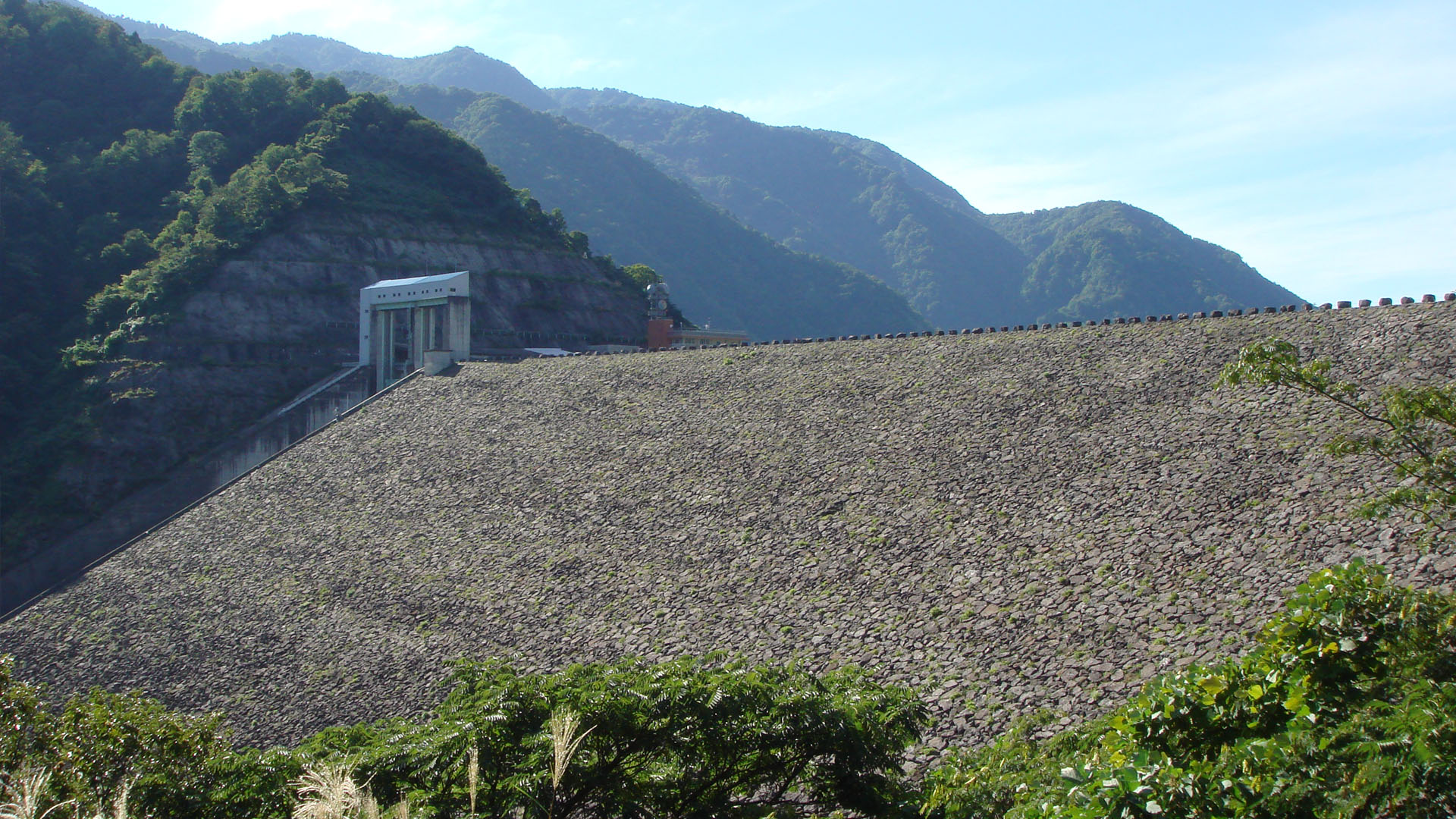
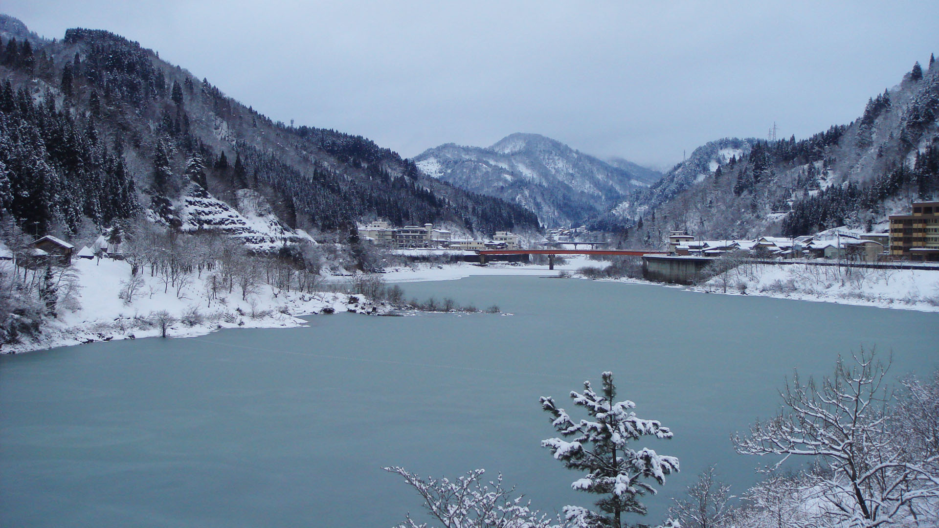
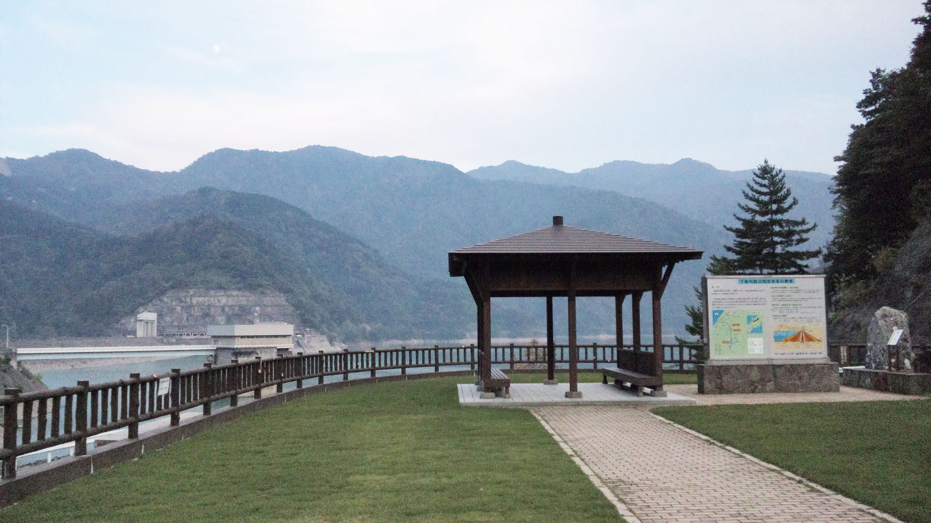
The Tedorigawa Dam, built in 1979, is a rock-fill dam formed in the steep valley of the Tedori River. Built majorly for flood protection, the dam also provides water for hydroelectric power, factories, and consumption. The height of the bank is 153m, and the catchment area is 428.4km2.
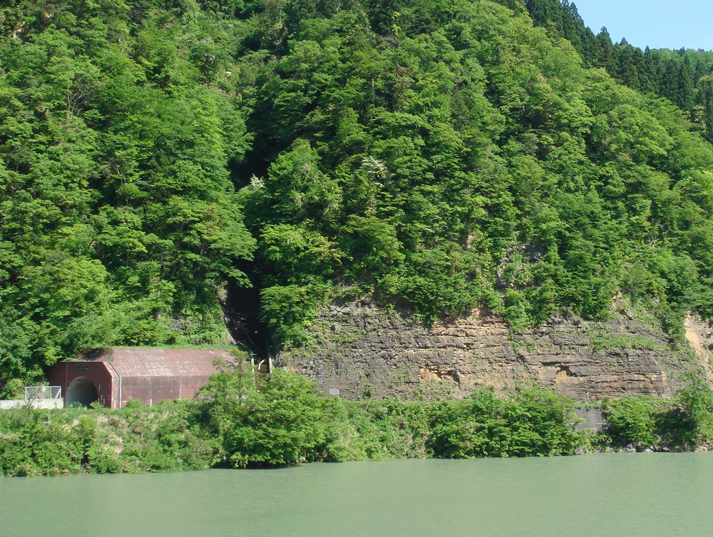
The rocks used in the dam are made up of conglomerates sourced from nearby. The rocks belong to the Gomijima Formation of the Tetori Group, aged as Early Cretaceous rocks (146 Ma to 100 Ma).
The rocks used in the dam are made up of conglomerates sourced from nearby. The rocks belong to the Gomijima Formation of the Tetori Group, aged as Early Cretaceous rocks (146 Ma to 100 Ma).
INFORMATION
Access• Car:
A small parking area is available which overlooks the front of the dam wall.
A park is also available with parking, which overlooks the water.
Address
Onabara, Hakusan, Ishikawa<MAP>
Free Map for Travelling Around Geoparks
Pocket Geo is a free map service that can be accessed online. It includes information about nearby sites and tourist destinations in the geopark. If you click on the sites, you can see pictures and information about them.
Click here to visit Pocket Geo
NEARBY SPOTS