BLOG
Enjoy the Hakusan Tedorigawa Geopark More with the Geoparks Japan App
The Geoparks Japan app is a free map that uses the GPS function of smart phones and tablets. See your current location on a variety of maps from line maps to birds-eye-view maps, and find information on nearby Geopark sites and tourist destinations. With live GPS feedback, this app makes travelling around the Geopark easy and fun!
Depending on your purpose there are 3 maps to choose from:
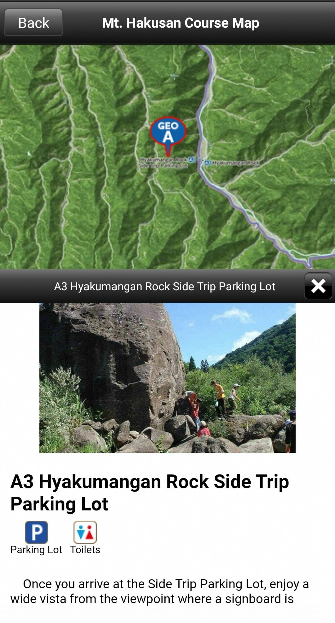
1) Course Map
Make your way through the entire Geopark following one of the model courses. You can also easily find and learn about nearby sites.
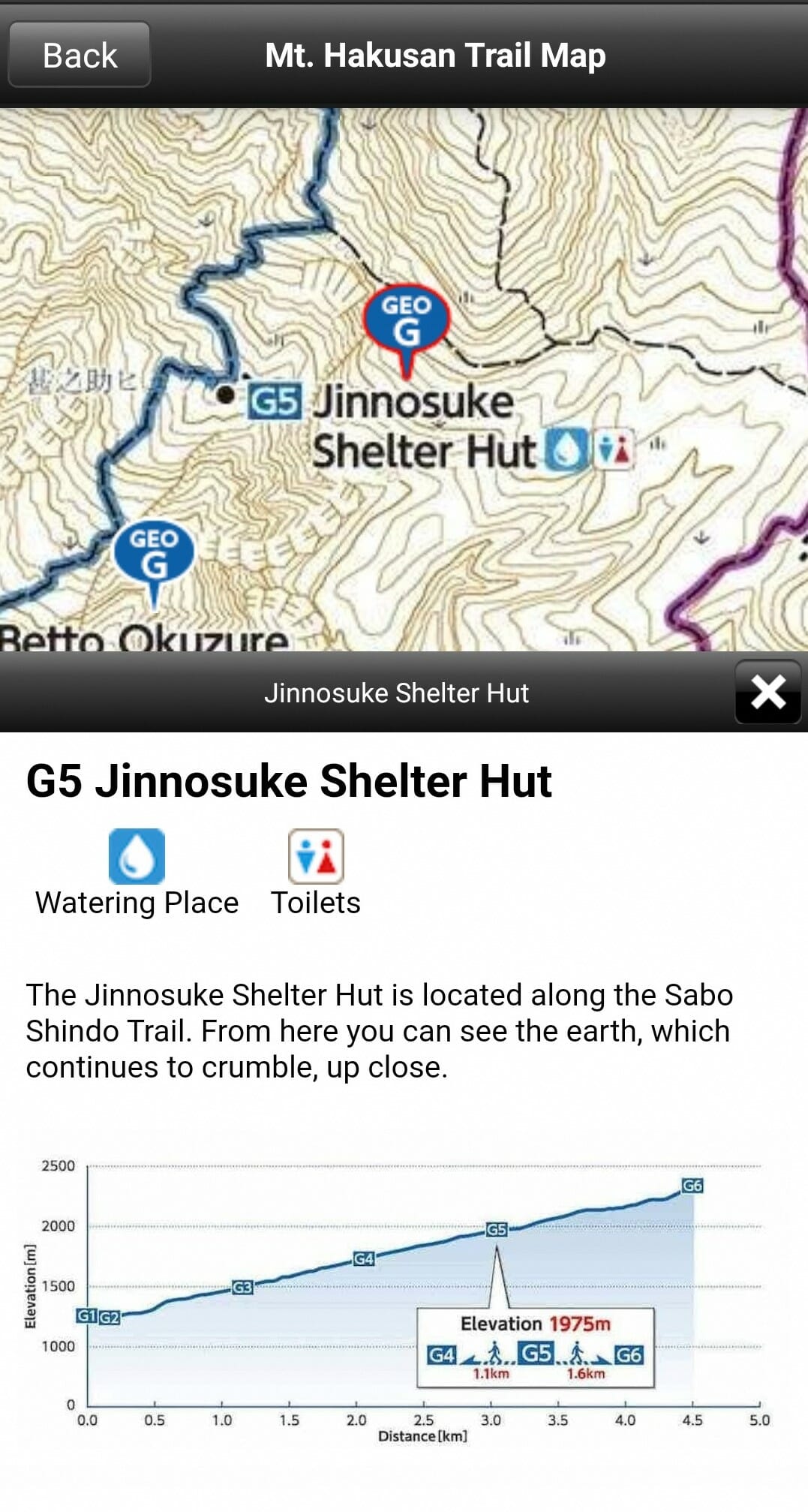
2) Mt. Hakusan Trail Map
If you’re going to climb Mt. Hakusan, this is the app for you! Check the elevation of different trails, find where toilets and water are, and choose the trail that best suits you.
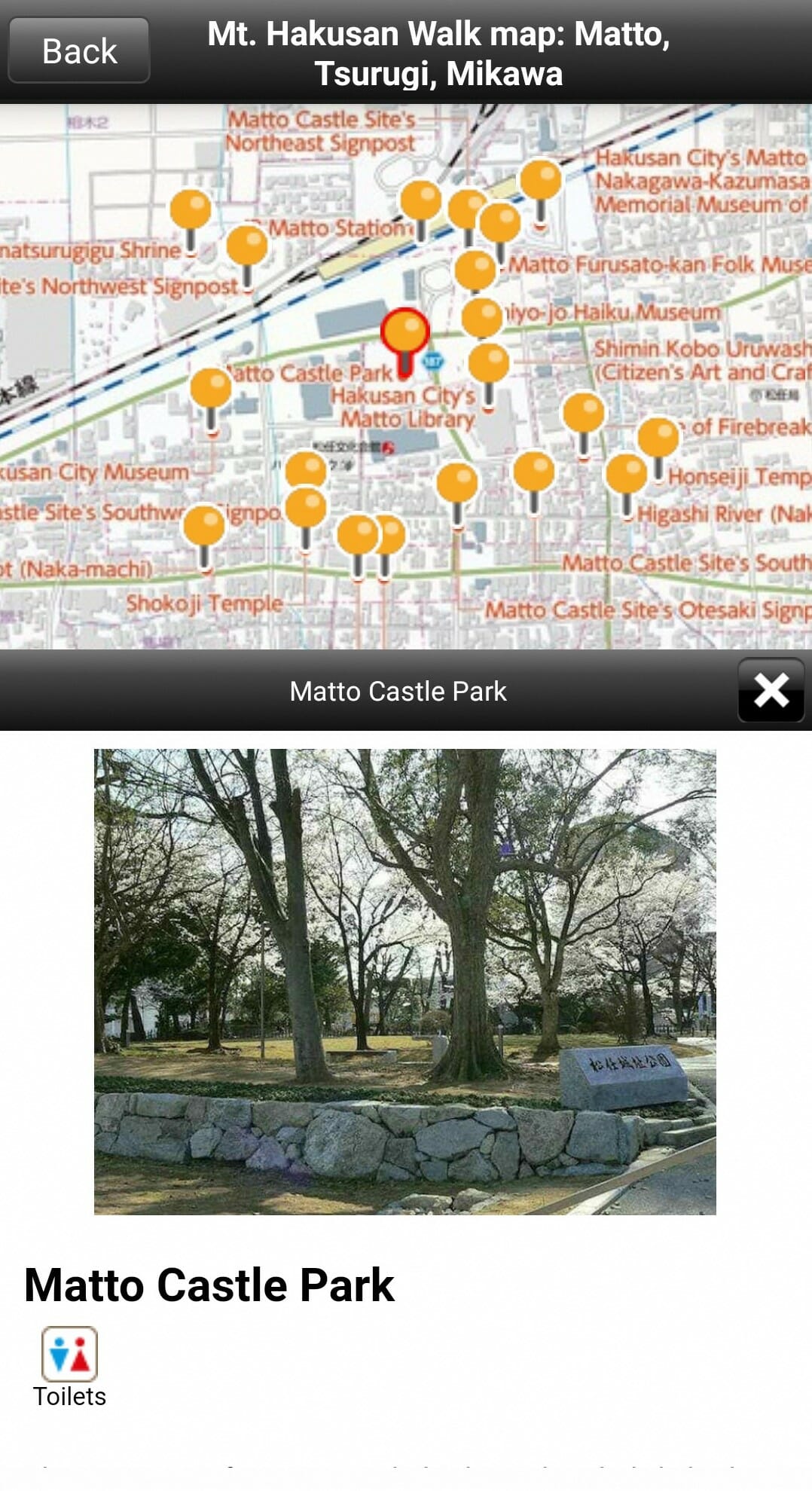
3) Walking Map
When walking around Mikawa, Matto, Tsurugi or Shiramine, this map gives information on hidden sites you can find.
Download the app for free!
Android: Google Play
iOS: Apple Store


