AREAS AND SIGHTS

Ichinose Visitor Center
Ichinose Bijita Senta
![]()
![]()
![]()
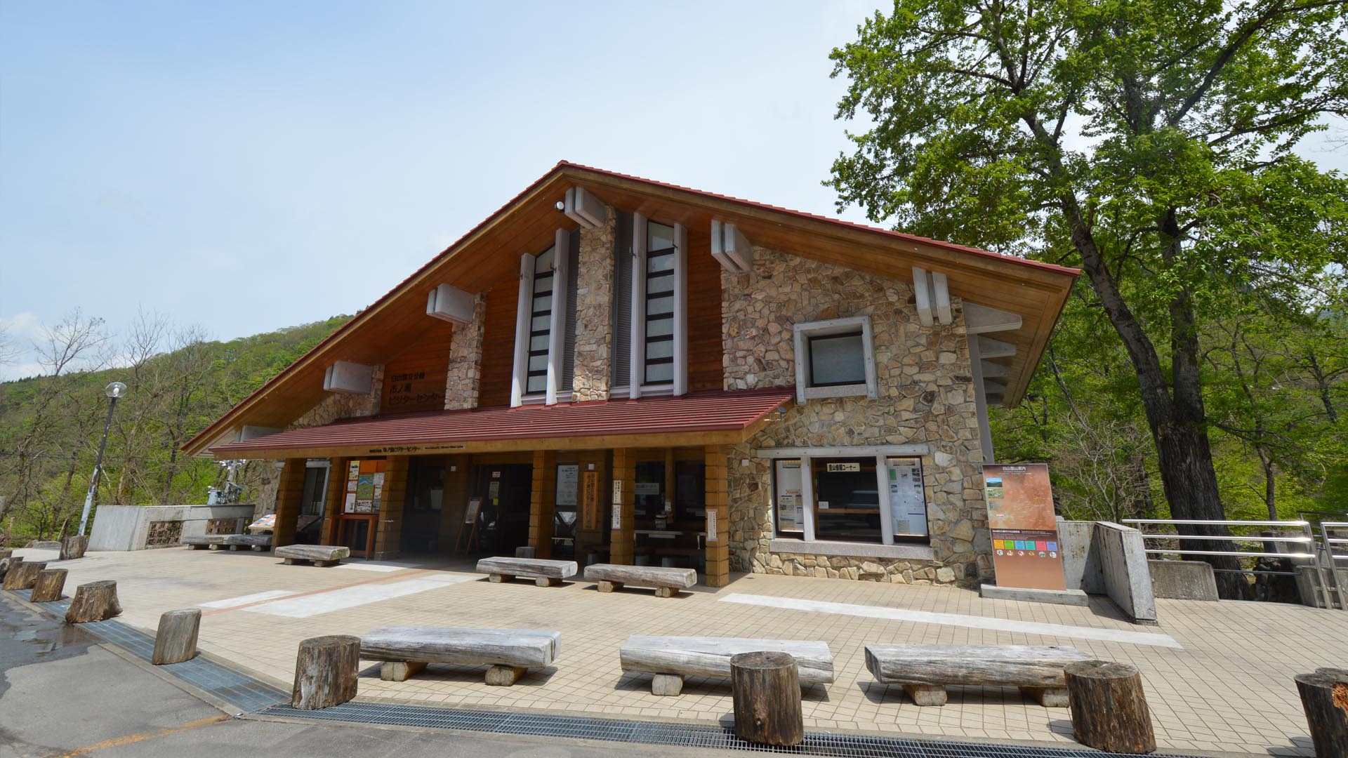
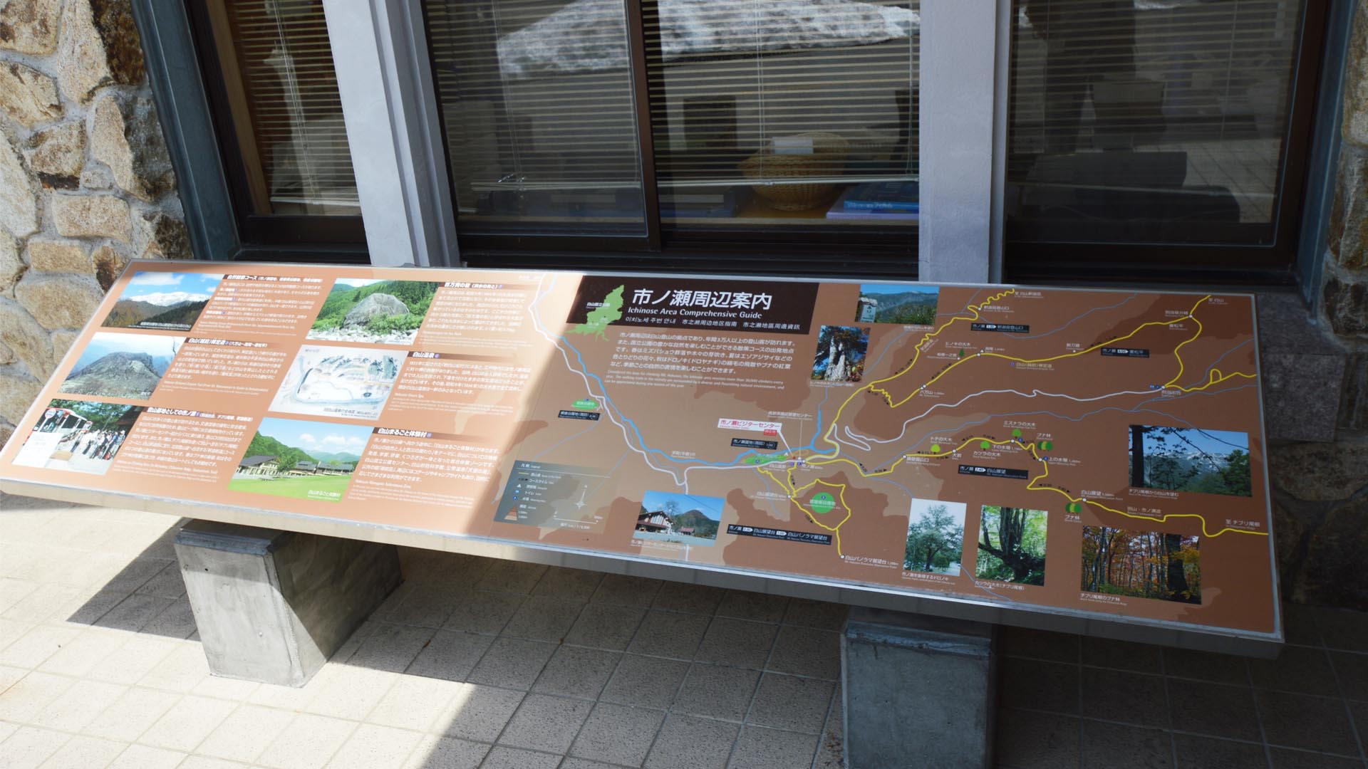
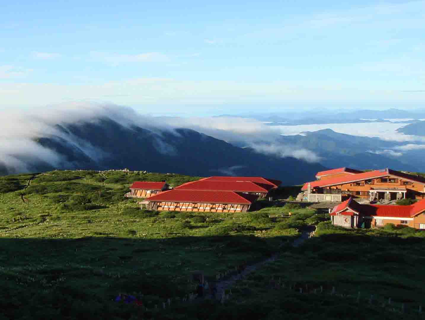
The Ichinose Visitor Center, at the base of Mt. Hakusan, provides useful climbing information for hikers. If using the Bessan Route, Ichizen-zenjou Route, or Shakashin Route, this is where you should start.
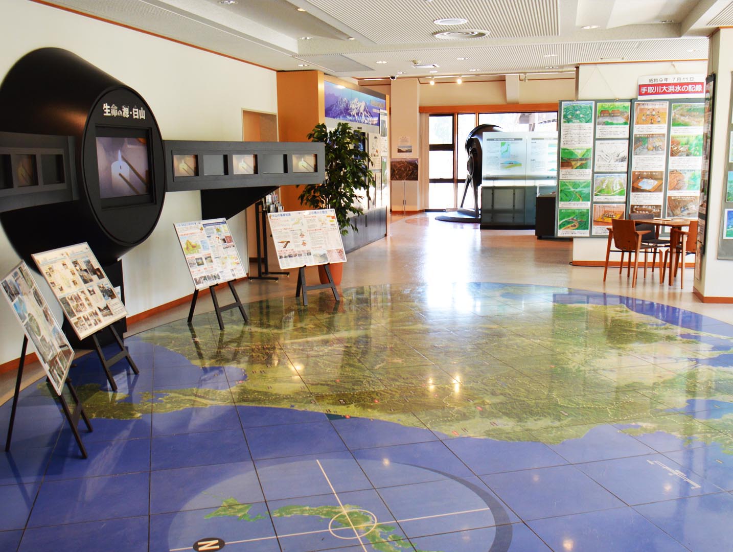
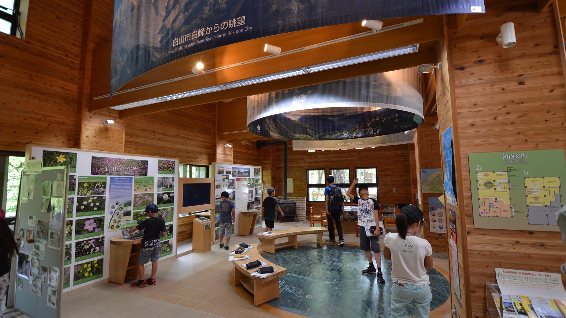
Within the facility there is a basic exhibition of the nature around Mt. Hakusan. Information is also available about what can be seen on the mountain. An aerial photo on the floor, and a 360 degree photo from the summit show the scenery of the area.
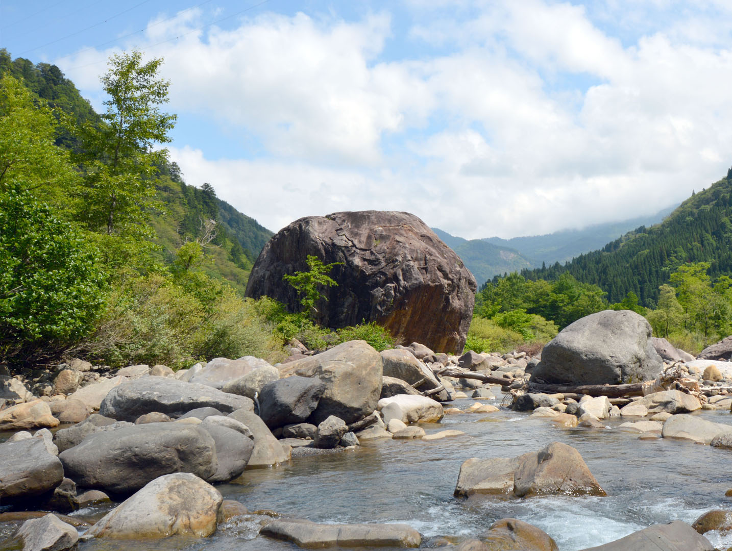
Use the center as a place to understand the journey of water and stone. From the birth of rock at the top of the volcano, to their weathering and erosion, and finally their transportation in the spring thaw, down to the Tedori River.
Mt Hakusan is a potentially active volcano. For your safety, if choosing to climb Mt Hakusan, you must submit a Tozantodoke “Intention to Climb” form here or at the Bettou Deai Center before climbing. You may be fined if you do not. If you need help, ask the staff at the Ichinose Visitor Center reception desk.
Within the facility there is a basic exhibition of the nature around Mt. Hakusan. Information is also available about what can be seen on the mountain. An aerial photo on the floor, and a 360 degree photo from the summit show the scenery of the area.
Use the center as a place to understand the journey of water and stone. From the birth of rock at the top of the volcano, to their weathering and erosion, and finally their transportation in the spring thaw, down to the Tedori River.
Mt Hakusan is a potentially active volcano. For your safety, if choosing to climb Mt Hakusan, you must submit a Tozantodoke “Intention to Climb” form here or at the Bettou Deai Center before climbing. You may be fined if you do not. If you need help, ask the staff at the Ichinose Visitor Center reception desk.
INFORMATION
Opening Hours• 8.45am to 5pm
• Closed during winter (early November to late April, depending on snow)
Entry Fee
• Free
Access
• Car:
Parking is available for visitors.
Address
Ishikawa, Hakusan, Shiramine<MAP>
Free Map for Travelling Around Geoparks
Pocket Geo is a free map service that can be accessed online. It includes information about nearby sites and tourist destinations in the geopark. If you click on the sites, you can see pictures and information about them.
Click here to visit Pocket Geo