AREAS AND SIGHTS

Kuroboko-iwa Rock
Kuroboko Iwa
![]()
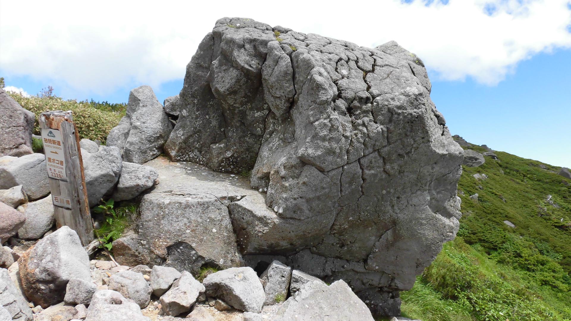
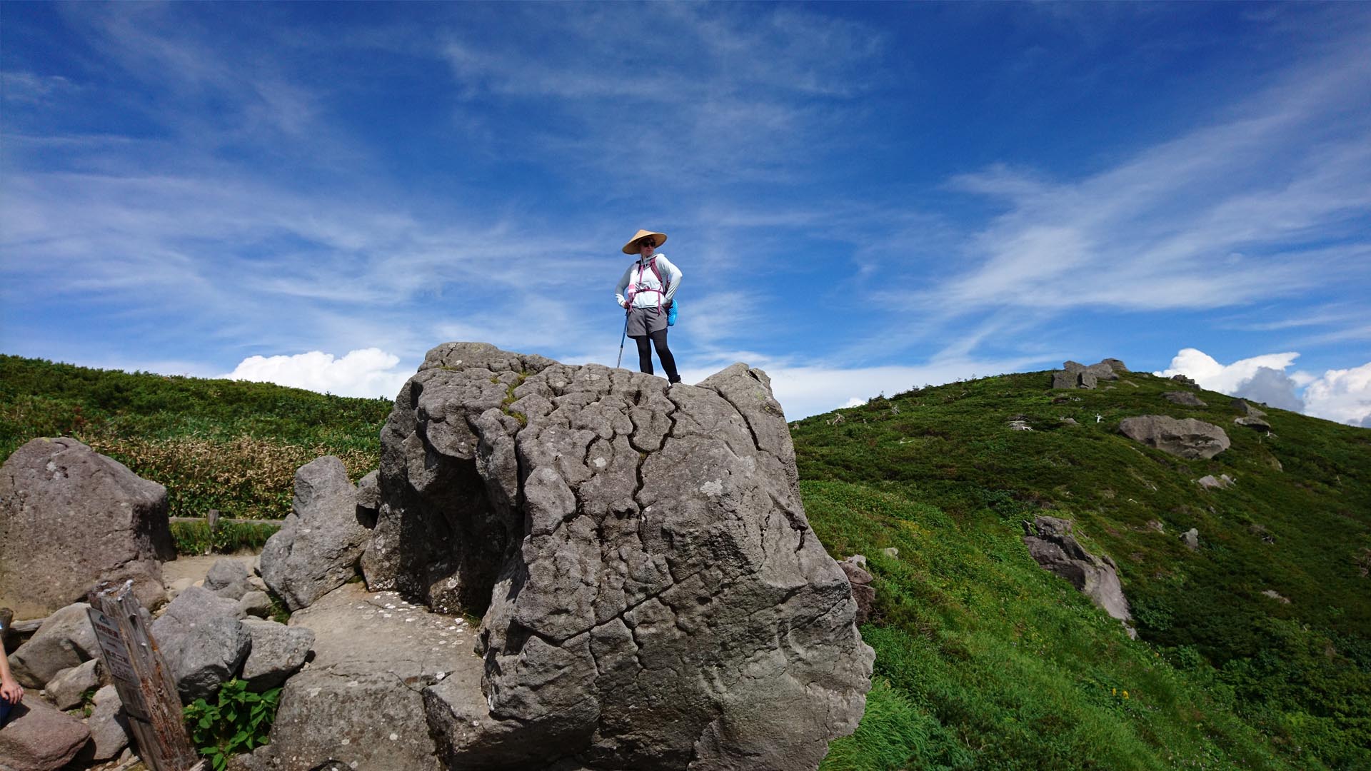
Kuroboko Rock is a volcanic bomb (projectile) carried from the top of Mt. Hakusan to the edge of the Mida-ga-hara plain by pyroclastic flow. Volcanic bombs are expelled during highly explosive volcanic eruptions caused by high gas pressure. The Kuroboko Rock is andesitic in chemistry, and after being expelled from the volcano as a liquid, cooled before falling back to the ground. Rocks like this are often found in the Mida-ga-hara plain.
The Kuroboko Rock is on the way to the summit of Mt. Hakusan when hiking from Bettou. It provides a great place to rest and lookout over the mountains.
The Kuroboko Rock is on the way to the summit of Mt. Hakusan when hiking from Bettou. It provides a great place to rest and lookout over the mountains.
INFORMATION
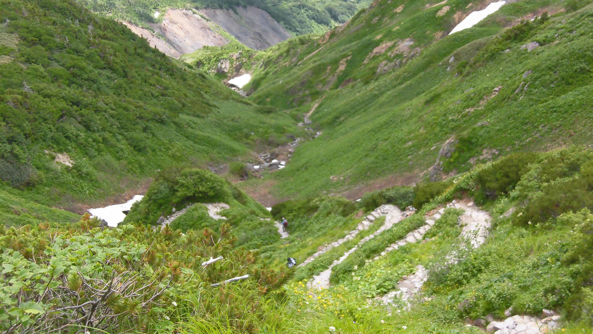
AccessAccessible along both the Sabo Shindo and Kanko Shindo hiking trails from the Betto Deai Center to the summit of Mt. Hakusan. It’s visible at the edge of the plains, shortly before reaching Muroudou.
Address
<MAP>
Free Map for Travelling Around Geoparks
Pocket Geo is a free map service that can be accessed online. It includes information about nearby sites and tourist destinations in the geopark. If you click on the sites, you can see pictures and information about them.
Click here to visit Pocket Geo
NEARBY SPOTS