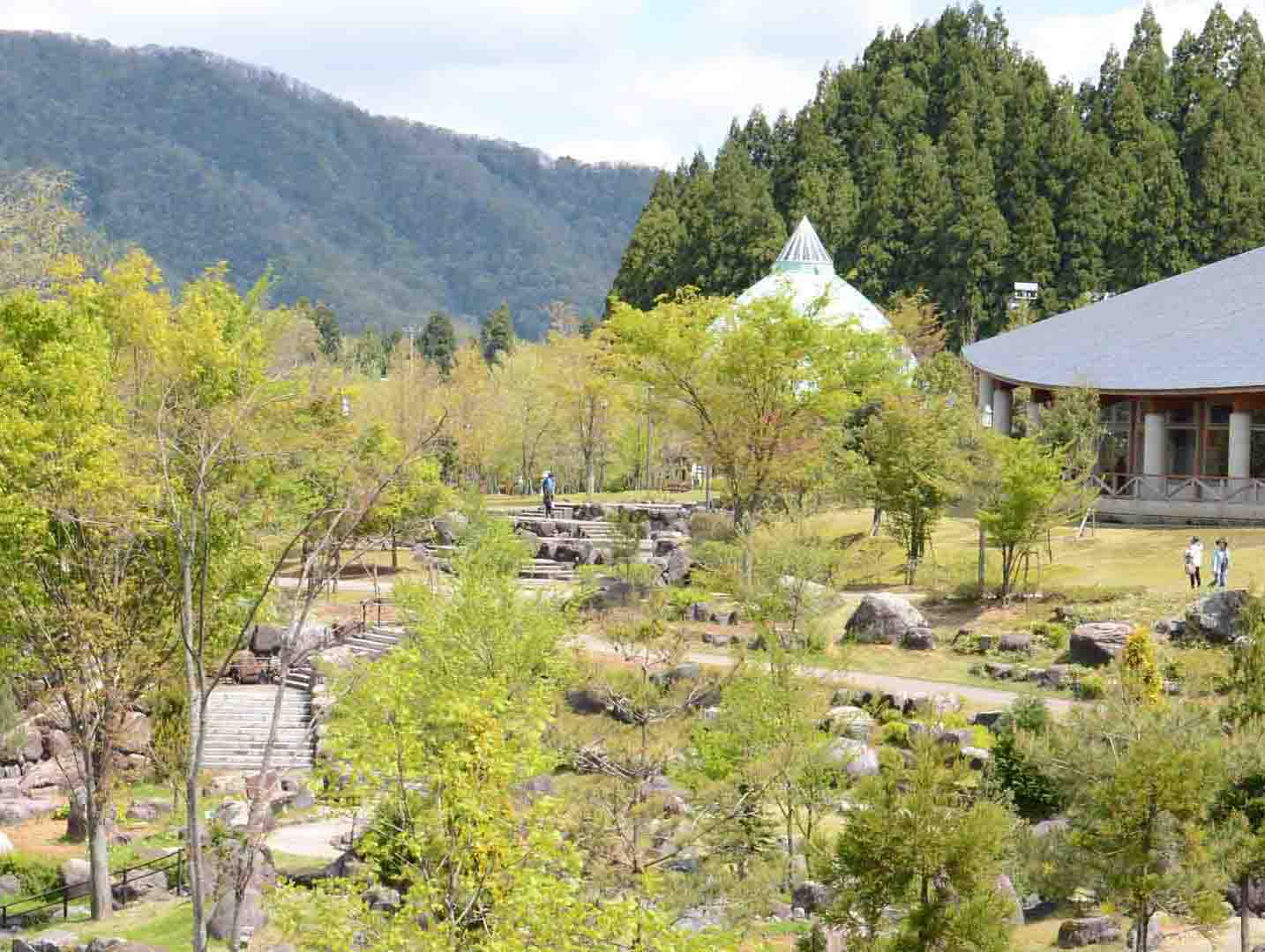
AREAS AND SIGHTS

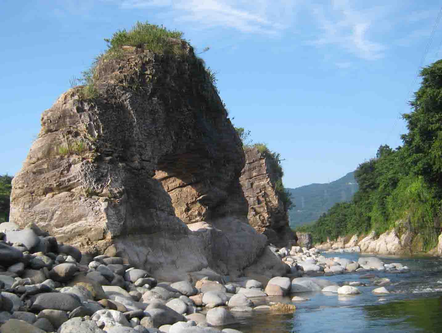
Myoujin-kabe Bluff
Myoujin Kabe
![]()
![]()
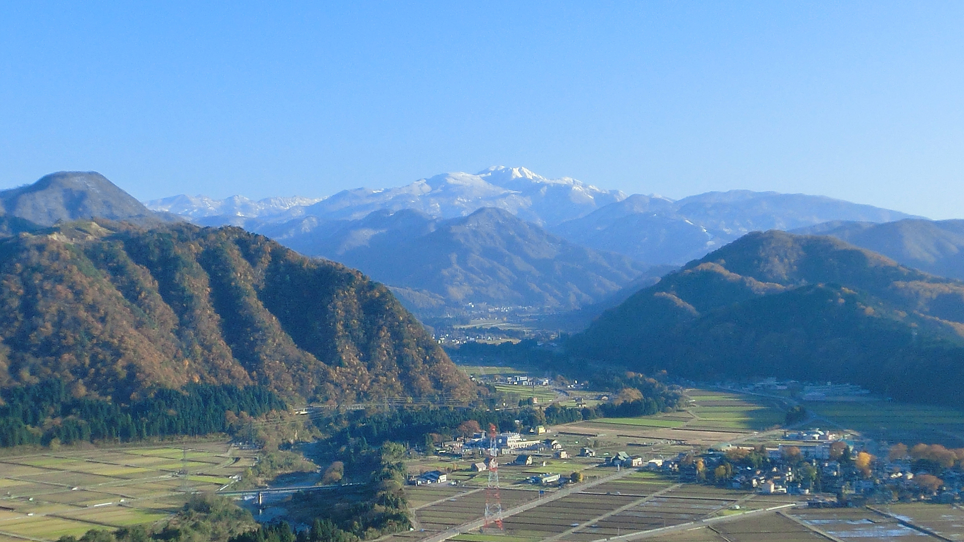
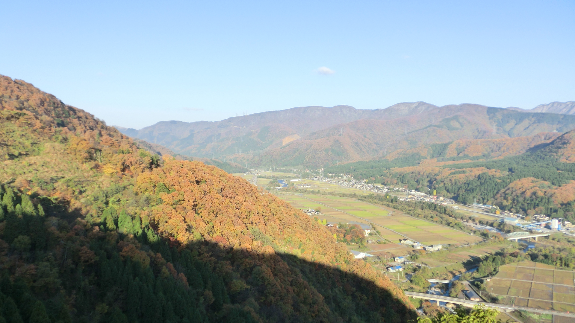
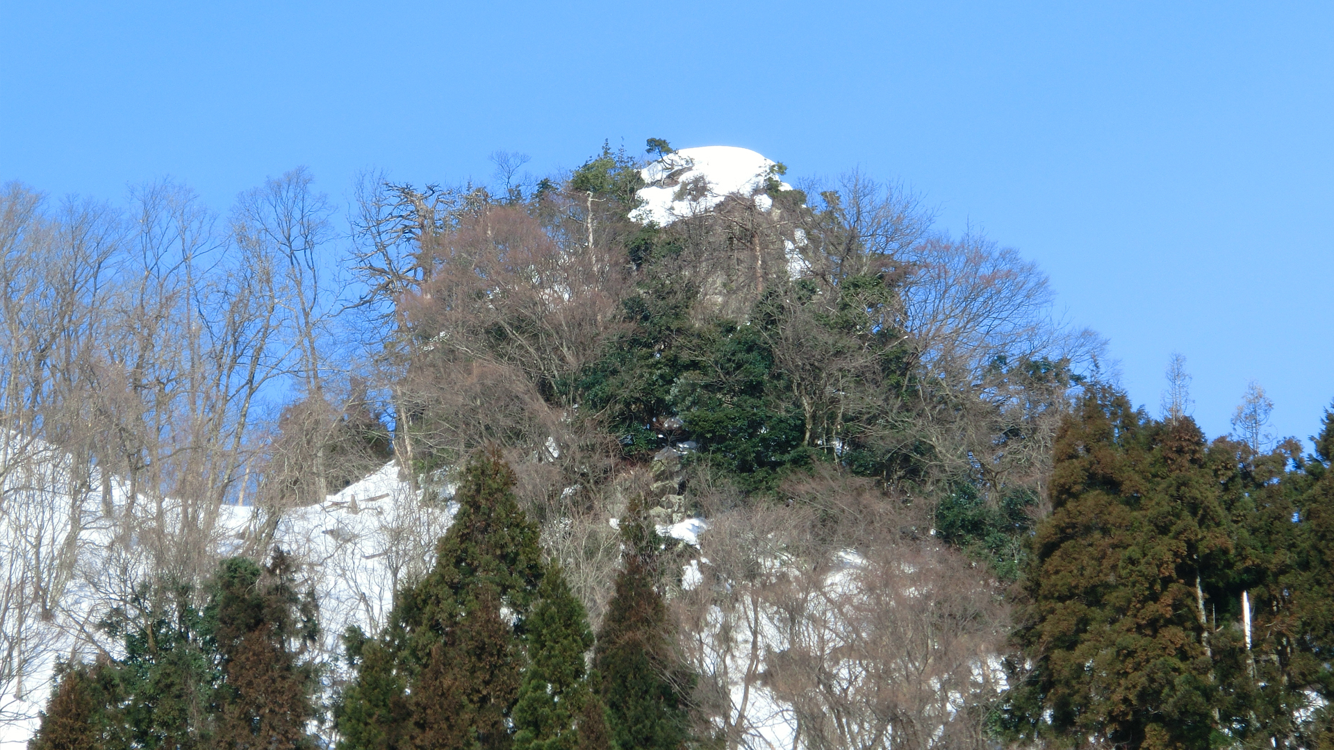
The Myoujin-kabe Bluff is a strangely-shaped rock on the mountain slope of Wakahara district, alongside the Dainichi River. It is traditionally said that Tengu (a long-nosed goblin) lived there, and if something dangerous occurred the Tengu would beat a drum as warning. A hiking trail goes up to the top of the mountain where the rock is, giving a great view out over the valley. You can enjoy beautiful scenery of not only Mt. Hakusan, but also the Tedori River, and the Dainichi River.
INFORMATION
AddressWakabaramachi, Hakusan, Ishikawa<MAP>
Free Map for Travelling Around Geoparks
Pocket Geo is a free map service that can be accessed online. It includes information about nearby sites and tourist destinations in the geopark. If you click on the sites, you can see pictures and information about them.
Click here to visit Pocket Geo